Phu Yen Topographic Survey with UAV LiDAR and GNSS for 1:500 Maps
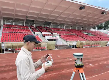
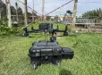
3DSCAN carries out topographic surveys in Phu Yen (part of Dak Lak Province since 1 July 2025) with two layers of data. A DJI Matrice 400 UAV with the Zenmuse L3 LiDAR captures the surface over large areas; Stonex S900 GNSS RTK receivers, a Leica DNA03 digital level and a Leica TCR802 total station hold coordinates and heights and fill in what the aircraft cannot see. The deliverable is a 1:500 topographic map in VN2000, central meridian 108°30′, Hon Dau height datum, together with a point cloud and a digital elevation model. The general workflow is on our 3D topographic survey by UAV service page; this article focuses on how ground control is laid out in forested hills.
Send your site boundary for a survey plan
One province, three kinds of terrain, three ways to survey
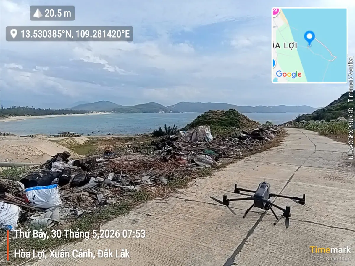
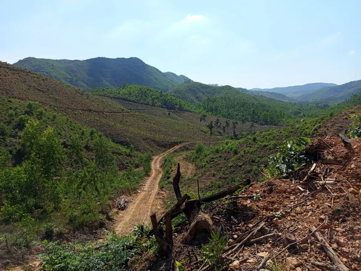
The coastal strip from Song Cau down to Tuy Hoa has Xuan Dai Bay, O Loan Lagoon, sand flats and aquaculture ponds, and airborne LiDAR does not return the height of the bed under water. Right next to the sea, around Xuan Canh, the land rises into steep acacia hills; the site shown in this article is there.
The lower Ba River plain around Phu Hoa and Tay Hoa is flat, full of paddy fields and irrigation canals, and easy to map from aerial photos. To the west, Song Hinh, Son Hoa and Dong Xuan have steep hills where acacia plantations and sugarcane cover almost all of the ground. 3DSCAN engineers therefore split each site by land cover and choose a method for each zone.
In the hills, error usually starts at the control points
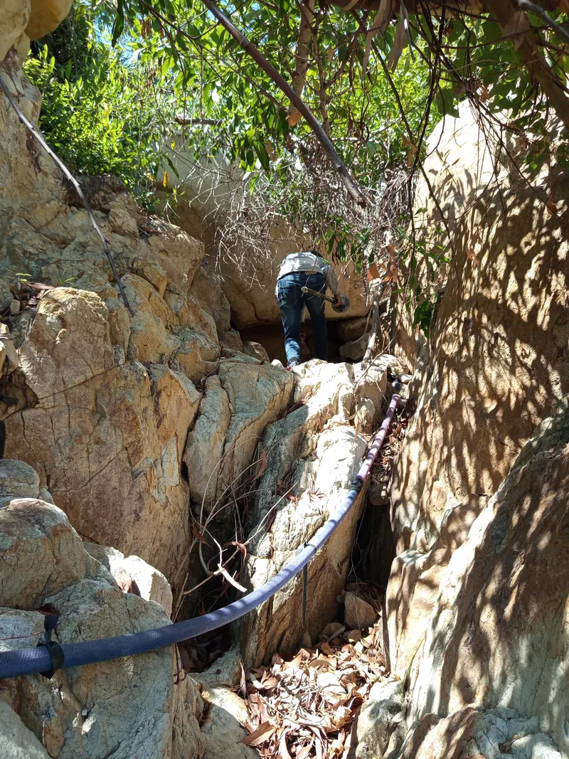
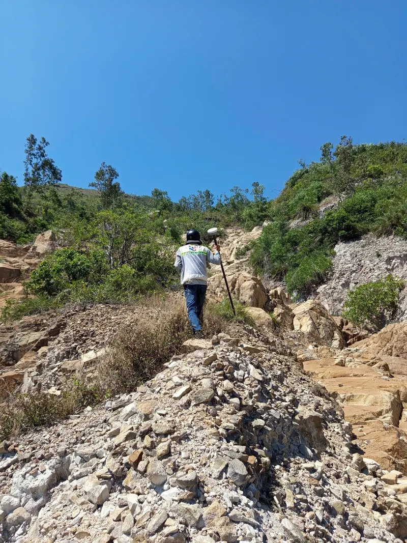
On sites inside acacia hills, map error comes more often from the ground control points (GCPs) than from the aircraft. A GCP placed under the canopy has two problems at once. The GNSS receiver loses sky view, so the RTK solution is unstable. The target also does not appear in the aerial images, leaving the software nothing to tie the block to.
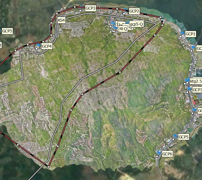
“In the acacia hills of Xuan Canh, as in Song Hinh or Son Hoa, the hardest part is not flying but finding open ground for the control points. One point under the canopy and the whole flight block loses its anchor, so our engineers walk the entire control route before the aircraft takes off.”
— Phan Tien Duyen, Director, 3DSCAN
Swipe for more →
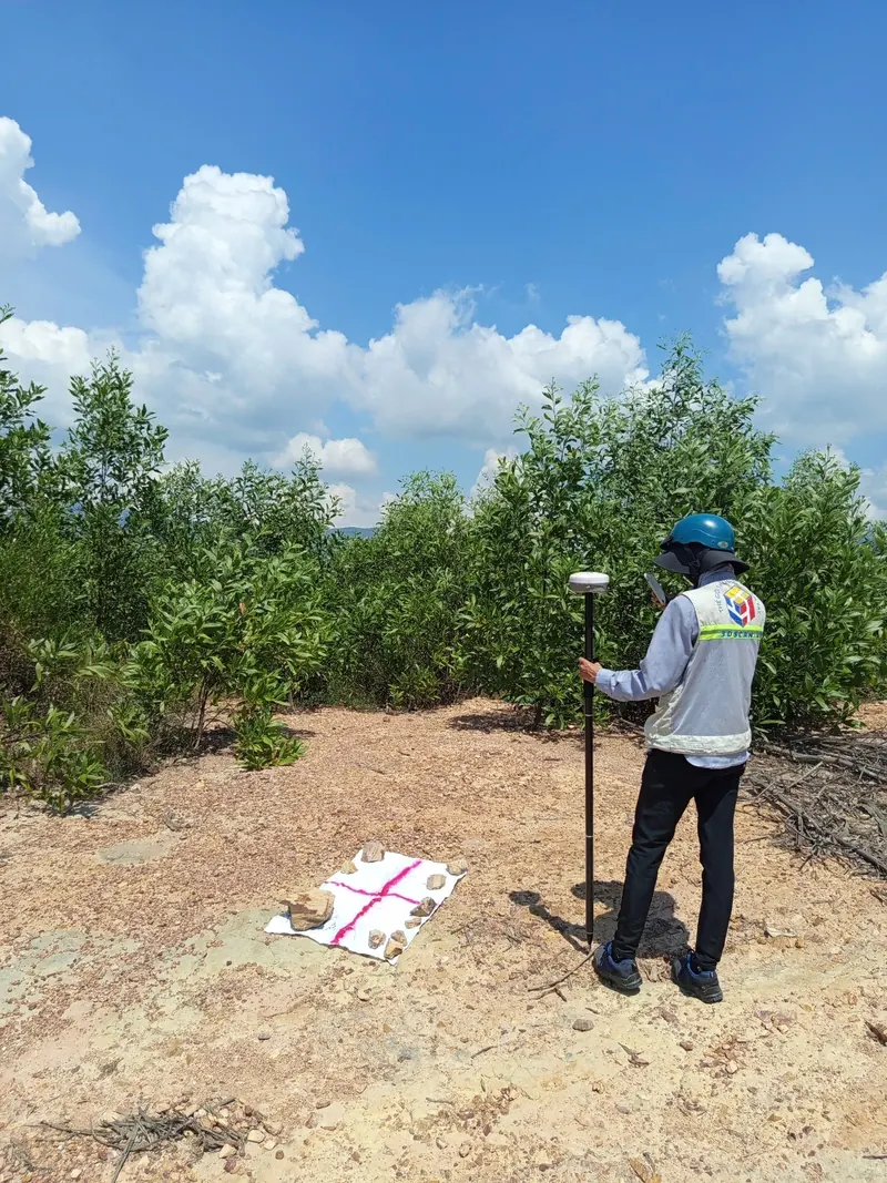
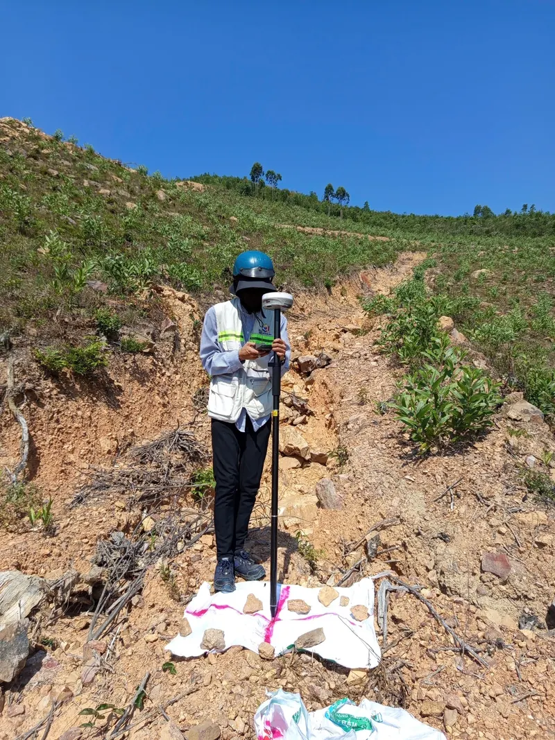
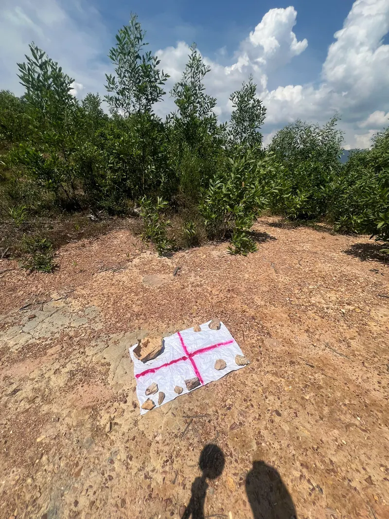
Placement decides whether a GCP can hold the flight block.
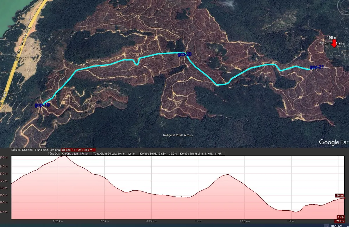
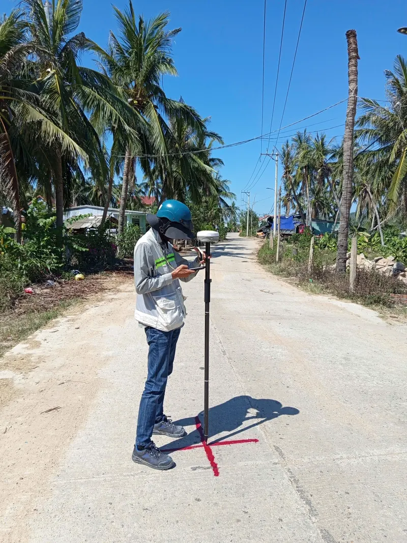
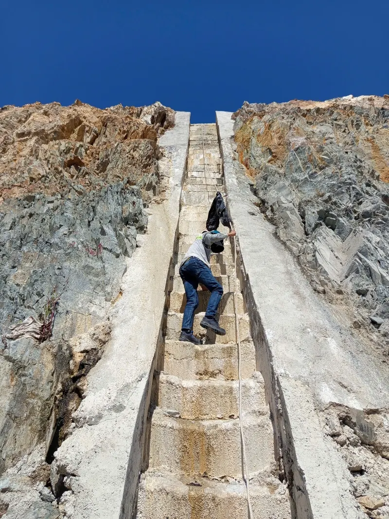
Our fix starts on the ground. Before flight day, engineers walk the site boundary and mark open spots such as drying yards, dirt tracks and freshly harvested patches for the GCPs. At Xuan Canh, the route linking just three points, gcp-19, gcp-20 and gcp-21, is 1.78 km long, with elevation ranging from 177 m to 255 m and a steepest grade of 33.6% (measured in Google Earth). Where there is no clearing, control is carried in from a GNSS point at the forest edge with a Leica TCR802 total station (2″ angular accuracy).
Swipe for more →
Choose equipment by land cover
The Zenmuse L3 uses a 1535 nm laser, ranges 950 m on 10%-reflectivity surfaces at 100 kHz and records up to 16 returns per pulse (DJI Enterprise datasheet). Multiple returns let part of the laser pass between acacia leaves and reach the ground, which photos cannot do. At a flight height of 120 m, DJI states a system accuracy of 3 cm vertical and 4 cm horizontal (RMSE). That is an equipment specification; the real accuracy of each site is established with ground check points.
The L3 is carried by the Matrice 400, which flies up to 59 minutes and is rated IP55 according to DJI. For open lowland, the DJI Mavic 3 Enterprise (4/3 sensor, 20 MP, mechanical shutter, RTK) captures mapping photos for orthophotos at a lower cost than a LiDAR flight. The same LiDAR-plus-ground-survey approach was used on our 220 ha UAV LiDAR topographic survey for 1:500 planning project.
Choosing the method by site conditions in Phu Yen
| Site conditions | Primary method | Infill and control |
|---|---|---|
| Acacia hills, sugarcane fields (Xuan Canh, Song Hinh, Son Hoa, Dong Xuan) | UAV LiDAR, Matrice 400 + Zenmuse L3, ground classification | GCPs in clearings; TCR802 total station carries points under canopy |
| Lowland paddies and canals (Phu Hoa, Tay Hoa) | UAV photogrammetry, Mavic 3 Enterprise RTK | Evenly spread GCPs; RTK canal cross-sections |
| Coastal lagoons, ponds, estuaries (Tuy An, Song Cau) | LiDAR or UAV photos for dry land | Bed levels by RTK or total station; unmeasured areas stated in the report |
| Villages, roads, infrastructure | ComNav LS600 SLAM LiDAR with RTK | Total station for manholes, culverts, chutes, floor levels |
| Height control for the whole site | Leica DNA03 differential levelling (0.3 mm/km with Invar staff) | Carried from national benchmarks, Hon Dau datum |
Walk first, fly second
- Collect the site boundary and the nearest national control and benchmarks; agree on VN2000, central meridian 108°30′, 3° zone.
- Walk the site, zone it by land cover, and choose GCP and check point locations.
- Observe the control network with three Stonex S900 GNSS receivers (base, rover, static) and adjust it; carry heights with the Leica DNA03.
- Fly LiDAR over the hills and photogrammetry over open ground, with a separate flight plan for each block.
- Align flight strips, classify ground points, tie to GCPs and compare against check points.
- Infill by ground survey under dense canopy, below water, at culverts and chutes.
- Draft the 1:500 map, run QA/QC, then hand over for acceptance.
Swipe for more →
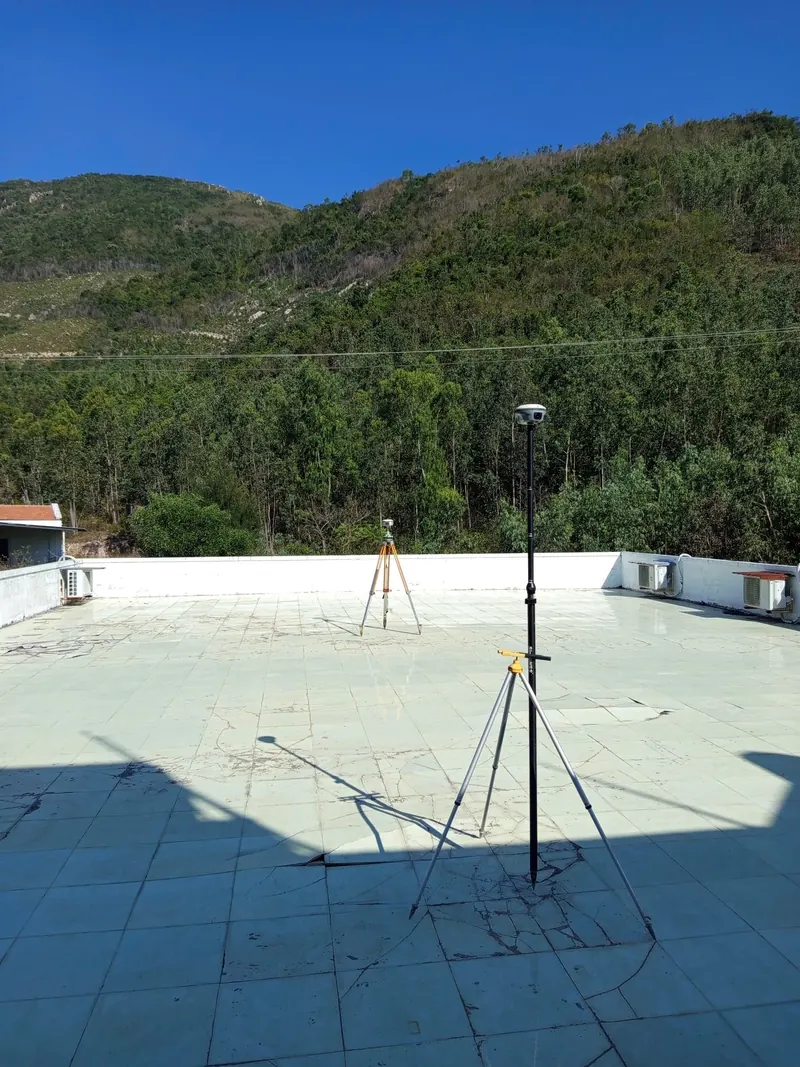
Results are checked against the technical requirements for 1:500 topographic maps in Circular 68/2015/TT-BTNMT. Where an area falls short, the field team goes back to resurvey before drafting.
What is delivered and how designers use it
- 1:500 topographic map (DWG), VN2000, central meridian 108°30′, Hon Dau height datum.
- LAS/LAZ point cloud with ground points classified.
- DEM/DSM and TIN.
- UAV orthophoto (GeoTIFF).
- Technical report, field books and control network adjustment results.
- Web Viewer for the orthophoto and 3D model online.
Swipe for more →
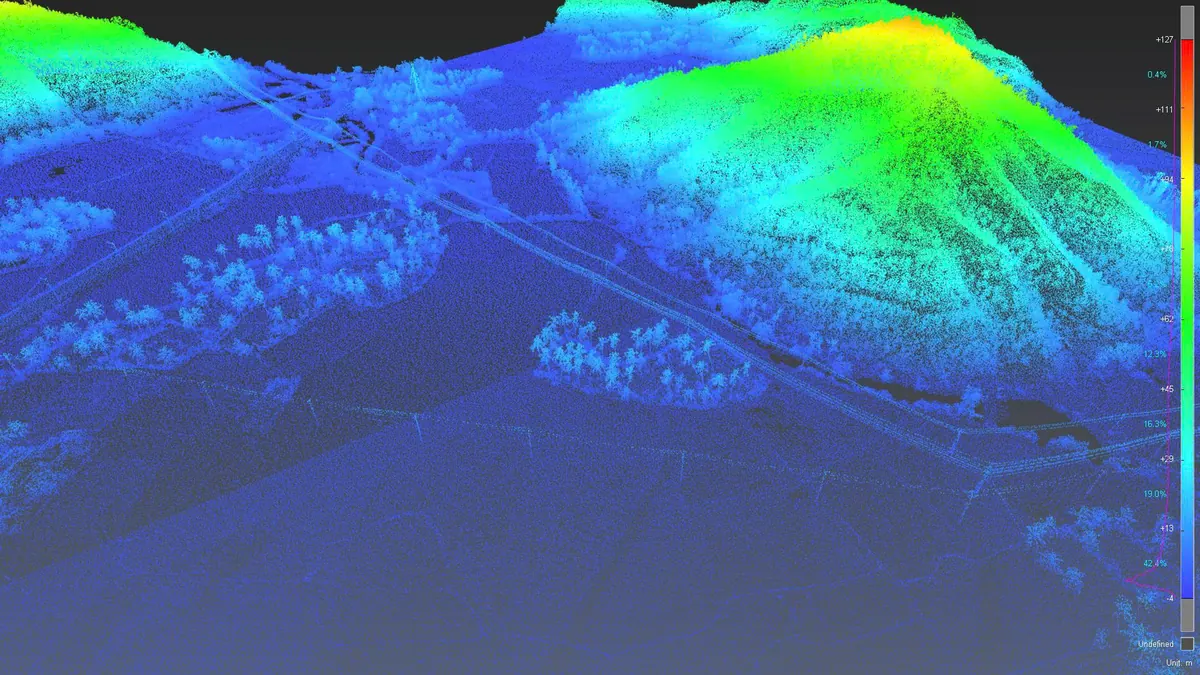
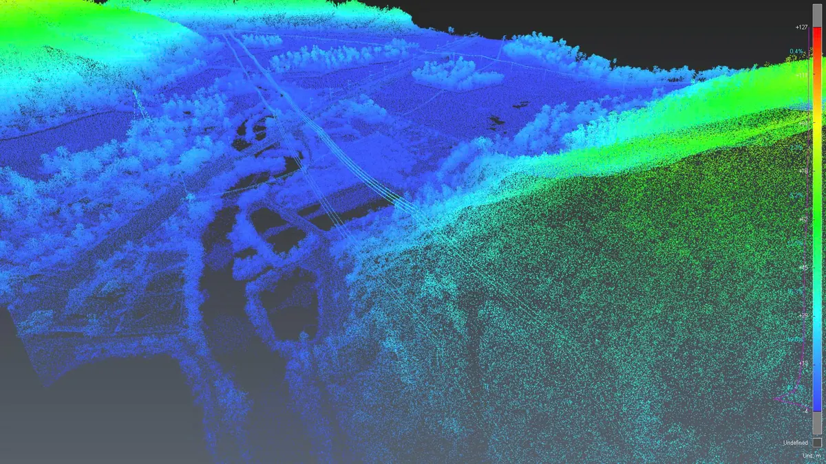
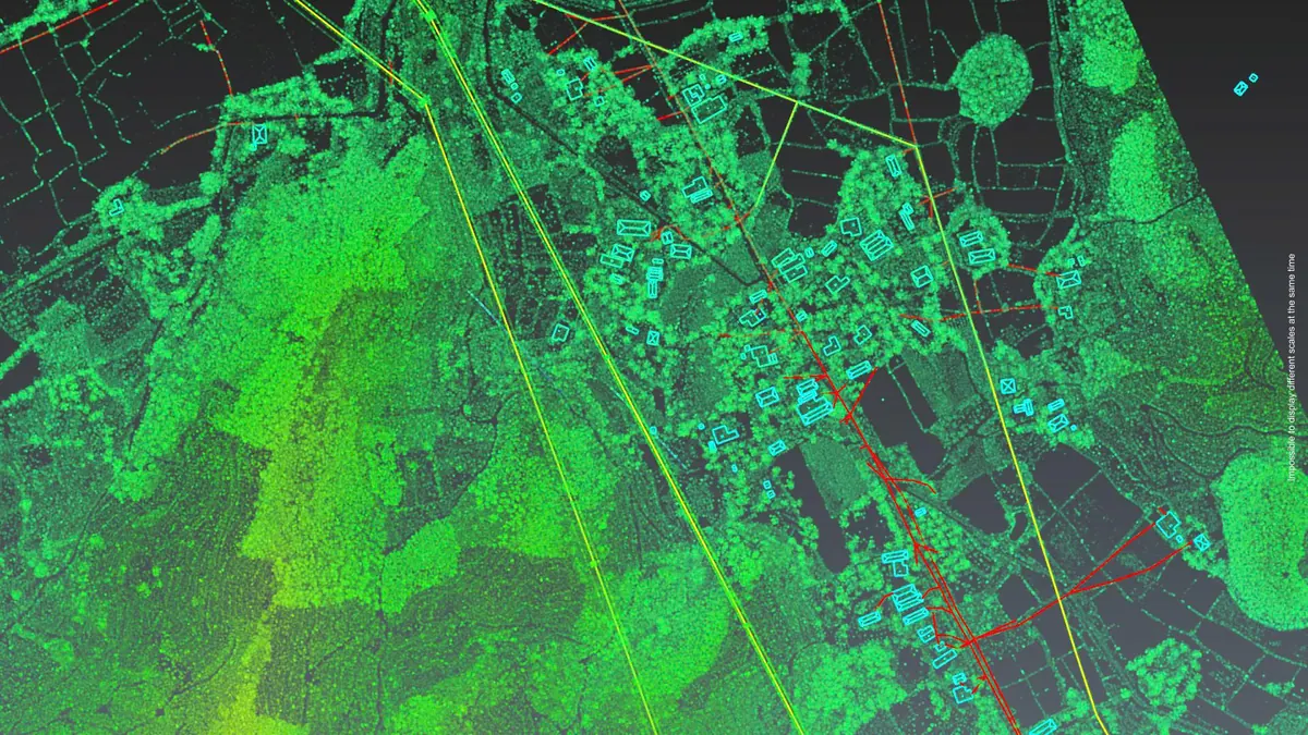
Designers use the DEM to compute cut-and-fill volumes for site grading and to lay out drainage. When the client needs to see the land in three dimensions, we build a 3D model from UAV and laser scan data on the same dataset. If the data must go into a management system, the map layers are converted and standardised into GIS.
Working in Phu Yen from our Ho Chi Minh City office
3DSCAN is headquartered in Ho Chi Minh City and has carried out surveys in many provinces. In Phu Yen, one field team handles the control network, the flights and the infill survey, so every value on the 1:500 topographic map can be traced back to a field book and a check point.
Related projects by 3DSCAN
- 220 ha industrial park topographic survey: UAV LiDAR, GNSS and levelling for a 1:500 map.
- Scan to BIM with utility detection at RMIT District 7: topographic survey alongside a building model.
- 3D model of Tan Hue Vien resort: UAV data built into a model for design approval.
- UAV topographic survey service: workflow, deliverables and coverage.
Need a 1:500 topographic map for a site in Phu Yen? Send the site boundary (KMZ, DWG or a photo of the plan) and 3DSCAN will zone it by terrain and send a technical plan with unit rates.
Contact 3DSCAN Hotline: 0938 309 808 · Email: lienhe@3dscan.vn