UAV Topographic Survey of 800 ha on Hon Khoai Island for Seaport Design
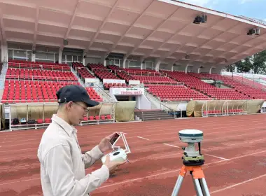
3DSCAN worked with Truong Son Construction Corporation to survey approximately 800 ha of terrain on Hon Khoai Island, Ca Mau Province, using a DJI Mavic 3 Enterprise UAV. The aerial images were used to produce a 1:2,000 topographic map, providing the baseline information for the design of Hon Khoai port. The project shows how 3D topographic surveying by UAV is applied in rugged, hilly terrain under strict security and defence management requirements.
Ask about UAV topographic surveys
Hon Khoai port design needs terrain data from the earliest stage
Hon Khoai Island belongs to Ca Mau Province and holds an important position in plans to develop transport infrastructure, seaports and the marine economy of southern Vietnam. Early-stage topographic surveying provides information on natural conditions so that the agencies involved can study and design the components of the seaport project.
According to a Tuoi Tre newspaper article dated 23 September 2026, the sea-crossing route linking the mainland to Hon Khoai Island is under construction, with completion expected by the end of 2028. The infrastructure connecting Hon Khoai is gradually taking shape. The survey scope of 3DSCAN described here is a separate professional assignment, not the scope of the entire bridge or port project.
800 ha of hills, and an area where you cannot fly freely
With approximately 800 ha of high, rugged hills, ground surveying across the whole area would face serious constraints on time, manpower and safety. The terrain changes sharply and vegetation cover varies from zone to zone, so the flight plan and data checks have to account for each type of surface.
The particular requirement is that Hon Khoai hosts defence activities and is governed by special area regulations. According to project implementation information, flights were organised on the basis of completing the legal procedures, complying with security regulations and operating under the supervision of the competent forces. For 3DSCAN, organising a survey in line with regulations is part of delivery capability, alongside surveying expertise and data processing.
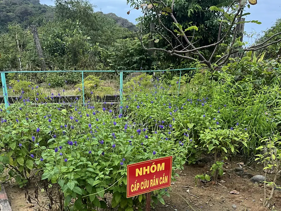
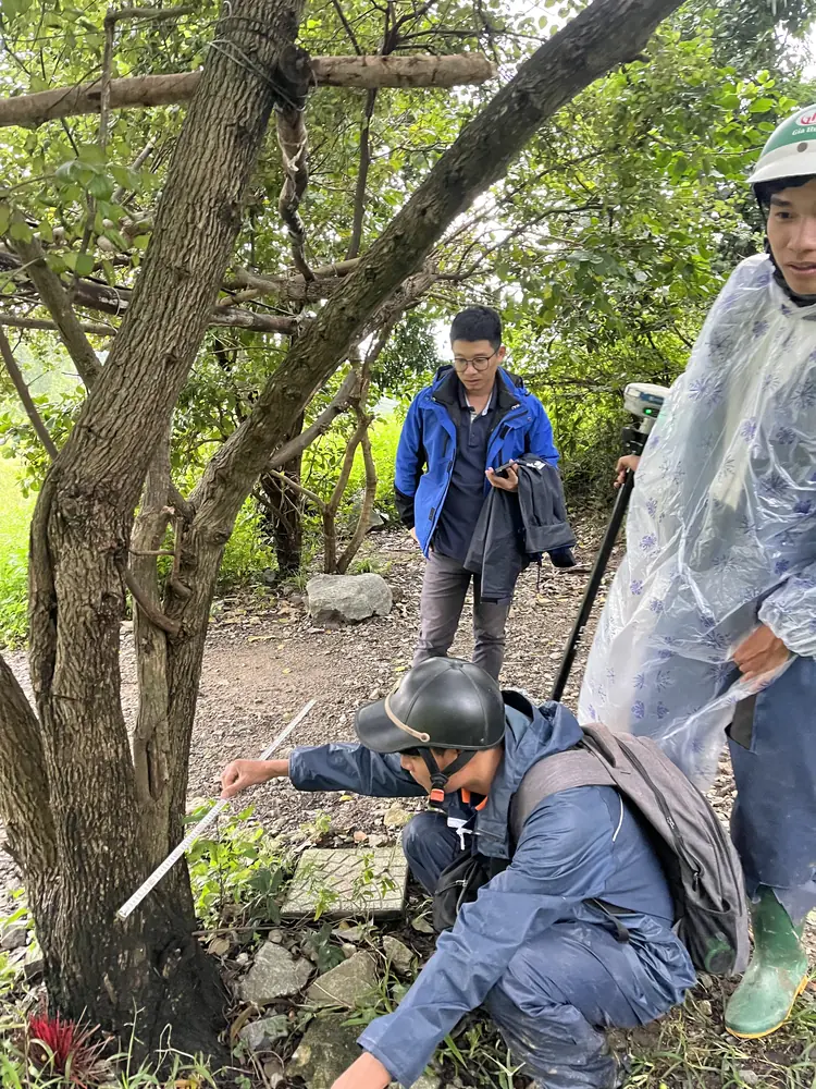
A medicinal herb garden marked “Snakebite First Aid Group” on the island, a reminder of safety when the survey team works in the forest
One aircraft for 800 ha: clear surfaces, checks needed under the forest canopy
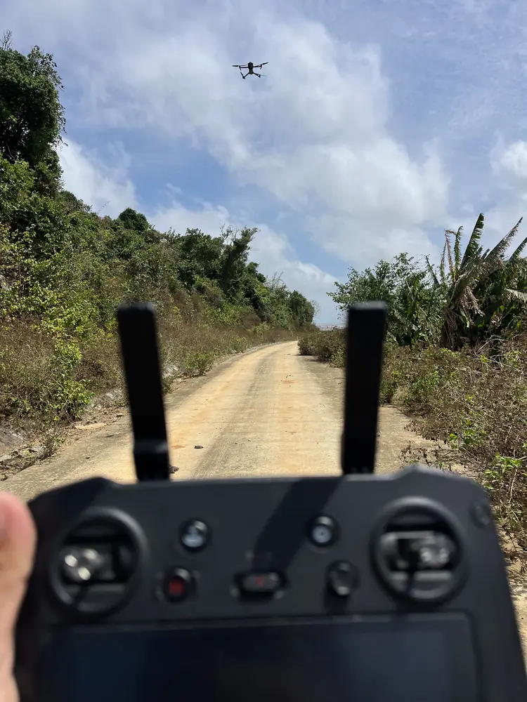
All aerial data for the project was captured with a DJI Mavic 3 Enterprise, a UAV with a 20 MP mechanical-shutter camera and RTK positioning support according to DJI specifications. The aircraft flies along flight lines, capturing aerial images to identify features and reconstruct the observable surface.
Illustrative cross-section of Hon Khoai Island: overlapping UAV images reconstruct open ground, while over dense forest the images only see the canopy surface.
What the UAV imagery is used for in the project
UAV imagery is used to cross-check existing conditions, locate terrain features and support map editing. On open ground and for features visible from above, overlapping images allow the terrain surface to be reconstructed directly.
The limit of UAV imagery under forest canopy
Where vegetation is dense, aerial images only record the canopy surface and cannot show the ground beneath. Data in these zones must be checked, and depending on the required accuracy, supplementary ground survey may be needed before mapping.
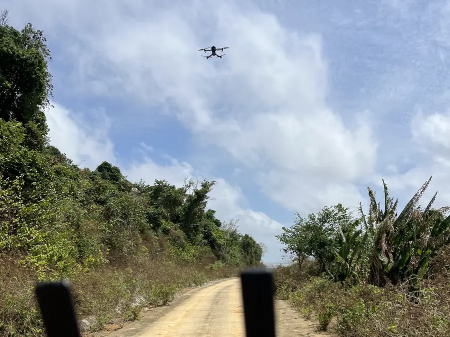
Densely forested slopes along the flight line: in areas like this, aerial images can hardly see the ground
UAV imagery by surface type on Hon Khoai
| Surface type | What UAV imagery captures | Points to note |
|---|---|---|
| Open ground, features visible from above | Terrain surface and features, reconstructed directly from overlapping images | Cross-check against ground check marks |
| Areas with dense vegetation | Canopy surface only, ground beneath not visible | Check and supplement with ground survey where accuracy requires |
| 1:2,000 map editing | Processed image data across the full 800 ha | Merge and cross-check data before mapping |
For projects that need to show the ground beneath dense forest over a large area, topographic surveying by 3D scanning can be considered as an addition, because laser pulses can pass through gaps in the canopy to record the terrain below.
How a 1:2,000 map supports port design
The main goal of the survey was a 1:2,000 topographic map covering approximately 800 ha for the design of Hon Khoai port. UAV image data makes it possible to organise terrain information over a wide area and analyse the spatial conditions of the study area. Specifically, the dataset is used to:
- Understand existing conditions: an overall picture of terrain and feature characteristics for design studies.
- Analyse the terrain: after processing and checking, the 3D data allows review of elevation relationships, slopes and complex terrain zones.
- Serve as a digital data foundation: survey information can be reorganised for further use in CAD and GIS data at the appropriate technical study stages.
A topographic map does not replace the geotechnical, hydrological or other specialist surveys required for port design. The value of this work is the initial spatial data layer for project delivery.
In special areas, working within the rules is part of survey capability
The Hon Khoai project demonstrates 3DSCAN's coordination capability on three points: choosing survey technology suited to the terrain, delivering over a wide area, and organising work according to the area's management requirements. These are also factors to consider when applying UAV survey solutions to seaport and transport infrastructure and to projects in hard-to-reach areas.
From surveying for initial design to the current construction of the transport links to Hon Khoai, the project shows that topographic surveying is the foundation of the infrastructure development chain. 3DSCAN is headquartered in Ho Chi Minh City, has delivered projects in many provinces, and continues to provide reliable, verifiable spatial data that can be used in engineering design.
Related services and projects by 3DSCAN
- 3D modelling with UAV and laser scanning, from flight and scan data to the delivered model.
- 3D topographic surveying for infrastructure, purposes and value of the data.
- Scan to BIM with utility detection and topographic survey at RMIT District 7, a survey project in Ho Chi Minh City.
- 3D model of Tan Hue Vien tourist area, a 3D modelling project for a tourist site.
Need a topographic survey of hilly terrain, dense vegetation or large-scale infrastructure? Contact 3DSCAN to discuss UAV photography options and your data quality control requirements.
Contact 3DSCAN Hotline: 0938 309 808 · Email: lienhe@3dscan.vn

Frequently asked questions (FAQ)
What did 3DSCAN do on Hon Khoai Island?
Which UAV was used for the Hon Khoai survey?
Can you fly a survey drone freely on Hon Khoai Island?
Does UAV photo mapping at 1:2,000 remove the need for ground surveying?
Does a Ho Chi Minh City UAV survey company take on projects in distant provinces?
Public references: Tuoi Tre newspaper (23 September 2026), article on the progress of the Hon Khoai sea-crossing bridge; DJI Enterprise, DJI Mavic 3 Enterprise specifications. Information on the 800 ha survey scope, partner, equipment and mapping purpose provided by 3DSCAN.