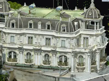
GTEL Project: 3D Survey – BIM Modeling – Online 3D Mapping Platform
3DSCAN partnered with GTEL Group to implement a comprehensive digitalization project using advanced 3D scanning technologies, integrating Leica RTC360, Insta360 One X5, and UAV RTK. The objective is to develop a detailed BIM model and an interactive online 3D map, supporting renovation design, facility operation, and efficient asset management.
Contact 3DSCAN for 3D solution consultation
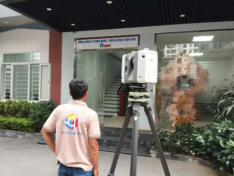
Laser scan positions at the entrance of GTEL headquarters
1) Background & Objectives
- Establish an accurate as-built 3D dataset for renovation and infrastructure expansion.
- Inventory spatial layouts and assets while standardizing operational documentation.
- Publish a role-based online 3D map for facility management and collaboration.
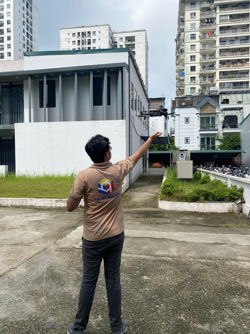
UAV-based 3D survey operations
2) Scope of Work
- Indoor and outdoor 3D scanning using Leica RTC360 with millimeter-level accuracy.
- 360° immersive capture using Insta360 One X5 for virtual walkthrough experiences.
- UAV RTK flights to survey rooftops and site areas, generating orthomosaic and DSM datasets.
- Data processing, registration, and BIM modeling (LOD 200–300).
- Deployment of an online 3D platform with multimedia integration and user access control.
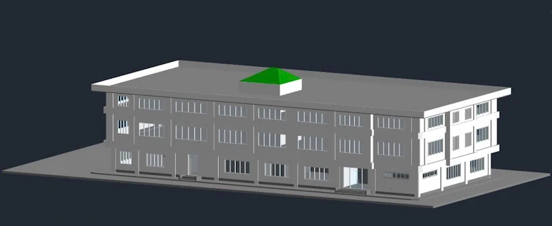
3) Technologies & Equipment
Leica RTC360
- Scanning speed up to 2 million points per second.
- Millimeter-level measurement accuracy.
- Integrated HDR imaging for realistic colored point clouds.
Insta360 One X5
- High-quality 360° panoramic imaging.
- Enables immersive walkthrough experiences in online environments.
UAV RTK
- Captures rooftops and site conditions, generating DSM/DTM models.
- Accurately determines elevation and rooftop equipment positions.
Processing Software
- Cyclone Register, CloudCompare for point cloud processing.
- Revit/IFC for BIM modeling.
- Web-based 3D viewer (WebGL) with filtering, measurement tools, and 360° hotspots.
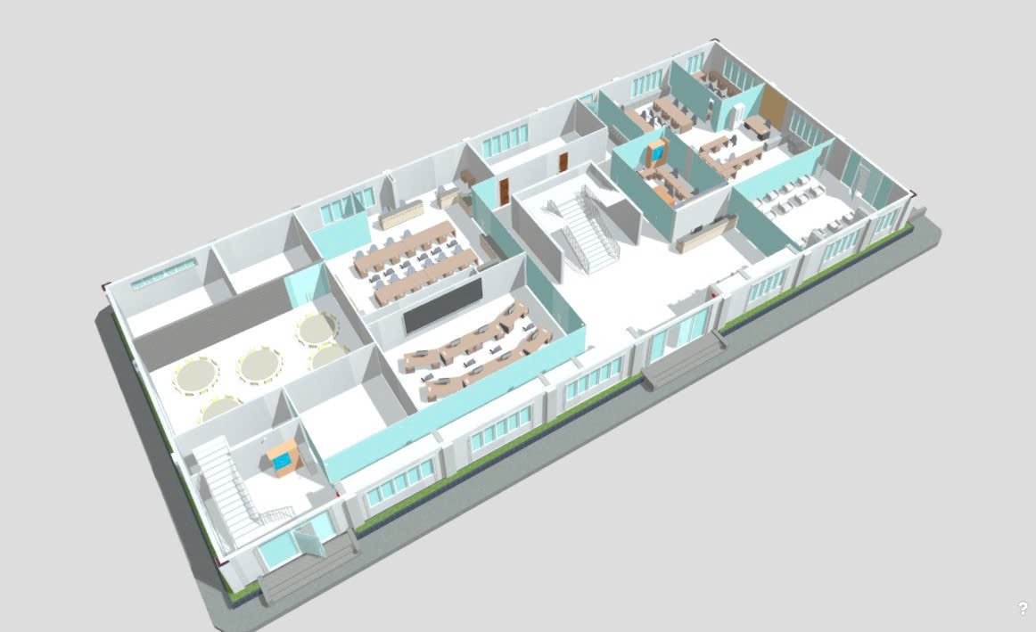 Floor section extracted from the online 3D model
5) Accuracy Control
- Scan registration maintained at millimeter-level accuracy with continuous loop closure checks.
- Deviation analysis between point cloud and BIM model.
- Unified coordinate system alignment between UAV and RTC360 datasets.
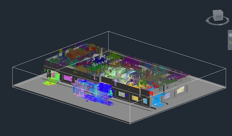
BIM model generated from point cloud data
6) Deliverables
Point Cloud & Imagery
- E57/RCP colored point cloud
- Orthomosaic, DSM/DTM
- 360° walkthrough tours
BIM Model
- LOD 200–300 (architecture & structure)
- Layered organization (architecture – structure – space)
- Formats: RVT / IFC
Online 3D Platform
- WebGL viewer (browser-based)
- Floor/zone filtering
- 360° hotspots & measurement tools
7) Benefits for GTEL
- Accurate as-built data shared across departments.
- Faster design workflows and decision-making.
- Reduced construction risks and design clashes.
- Improved facility operation and maintenance efficiency.
9) Case Highlights
- Open office: RTC360 captured walls, ceilings, and circulation spaces in detail.
- Rooftop: UAV recorded elevation and equipment locations.
- Lobby: 360° imagery integrated into the 3D platform.
10) Implementation Roadmap
- Phase 1: Pilot on a single building block, standardizing data and workflow.
- Phase 2: Scale to multiple buildings, optimizing processing time.
- Phase 3: Integrate the 3D platform with asset management systems (CMMS / Digital Twin).
Contact
3DSCAN.vn – Existing condition survey & 3D/BIM modeling using UAV and Laser Scanning.
📞 0938309808 | ✉️ lienhe@3dscan.vn | 🌐 https://3dscan.vn/lien-he