3D Laser Scanning of Existing Conditions at 12 Vo Van Kiet, District 1 – Supporting Design, Renovation and Refurbishment
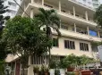
3DScan.vn carried out a 3D laser scanning survey of the existing building at 12 Vo Van Kiet, Sai Gon Ward, District 1 to support design, renovation and refurbishment of a commercial property with a total area of 3,000 m². The project was implemented using a GeoSLAM mobile scanning system, which allows fast, accurate and comprehensive data capture in complex spaces, providing a solid foundation for 2D drawing production and usable area calculations.
Contact us for 3D laser as-built surveys
 1. Project objectives and scope
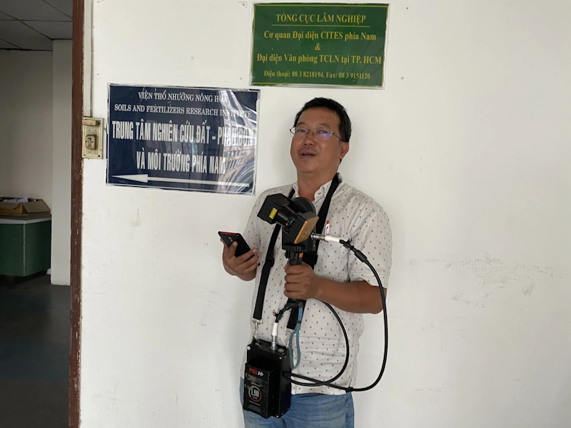
The project aimed to survey, document and digitise the existing conditions of the entire building, providing a reliable basis for renovation design, space planning and verification of usable floor area. With mobile laser scanning technology, 3DScan.vn was able to capture data in a short period of time, minimising disruption to activities at this centrally located District 1 property.
- Location: 12 Vo Van Kiet, Sai Gon Ward, District 1, Ho Chi Minh City.
- Survey area: 3,000 m² including indoor spaces, corridors, roof and technical areas.
- Equipment used: GeoSLAM ZEB Horizon – mobile laser scanning system with ±10 mm accuracy.
- Execution time: 1 day of on-site scanning, 3 days for processing and 2D drawing production.
- Deliverables: Point cloud, 2D floor plans (DWG, PDF), and detailed floor area reports by level.
 2. Technical workflow
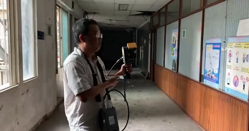
3DScan.vn used SLAM (Simultaneous Localization and Mapping) technology to capture continuous data across large areas, including zones with many blind spots or narrow corridors. All data was processed, adjusted and normalised to a consistent coordinate system to ensure high accuracy.
a) Existing condition data capture
- Site reconnaissance to define scan routes and areas to be captured.
- Scanning of all lobbies, corridors, functional rooms, technical spaces and roof areas.
- Continuous data collection with the GeoSLAM device at a scanning speed of 300,000 points/second.
b) Point cloud processing and registration
- Processing raw data in GeoSLAM Connect, adjusting trajectory, reducing noise and filtering background elements.
- Validating accuracy using fixed check points at the site.
- Resulting point cloud achieved an overall spatial accuracy of ±10 mm.
c) 2D drawing production and area calculations
- Extracting floor plans, sections and elevations from the point cloud using AutoCAD and Revit.
- Calculating areas by floor, functional zone, walls – floors – ceilings.
- Delivering DWG and PDF drawings along with floor area schedules to support renovation design.
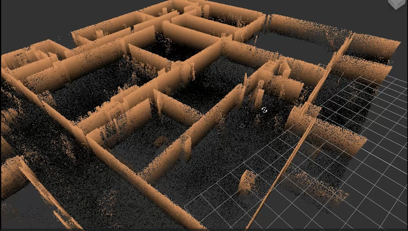 3. Results and applications
The survey results provide the owner and design team with a clear understanding of the actual building conditions with accuracy better than ±10 mm, forming a solid basis for renovation design and technical documentation.
- 2D as-built drawings: complete floor plans, sections and dimensions that reflect real conditions.
- Colourised point cloud: full spatial detail for visual verification and on-screen measurements.
- Area calculation tables: exported in Excel and PDF by floor, supporting design work and usable area auditing.
- Practical applications: interior refurbishment, space planning, MEP design and checking existing structural layouts.
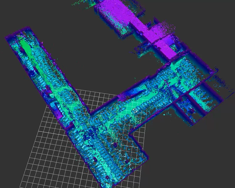 Conclusion
The 3D Laser Scanning project at 12 Vo Van Kiet highlights the strong advantages of GeoSLAM mobile scanning technology for existing condition surveys in dense urban areas. Fast, accurate and detailed data capture helps shorten design schedules and reduces errors during renovation works. 3DScan.vn is committed to delivering professional Scan-to-Drawings solutions, seamlessly connecting real-world site conditions with highly accurate digital design models.
Need to survey existing building conditions to support design, renovation or 2D as-built drawings? 3DScan.vn provides 3D Laser Scanning – GeoSLAM – Technical drawing production with high accuracy, fast turnaround and optimised costs for all types of projects.
Contact 3DScan.vn Hotline: 0938309808 · Email: lienhe@3dscan.vn
Frequently Asked Questions (FAQ)
How is GeoSLAM mobile scanning different from static scanning with RTC360?
Are 2D drawings generated from the scan data accurate enough for design?
Which software platforms can use the delivered data?
```