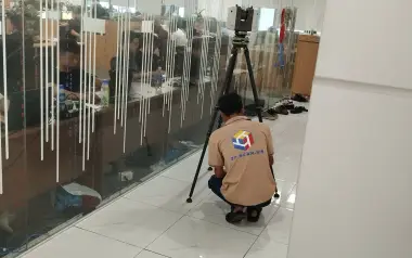
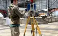
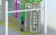
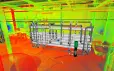
As construction and infrastructure projects demand ever higher accuracy, 3D laser scanning survey technology is becoming an optimal replacement for traditional measurement methods. With its ability to capture data at high speed, extremely low error margins and highly detailed real-world 3D representation, 3D Laser Scanning helps project owners shorten survey time, reduce labour costs and significantly improve project management efficiency. Let 3DScan walk you through the details below.
3D Laser Scanning – Accurate and Cost-Effective Survey Solution
For today’s construction and infrastructure projects, high accuracy, fast progress and risk control are key success factors. 3D Laser Scanning has become a powerful tool, enabling engineers, contractors and investors to build detailed and intuitive 3D models while saving both time and budget.
Key benefits of 3D Laser Scanning:
- High accuracy: Capture millions of data points with only 2–5 mm error, detecting deviations from design from the survey stage.
- Time savings: Scan areas of thousands of square metres within a few hours instead of days with conventional methods.
- Highly visual data: Easy integration with BIM, Revit, AutoCAD and GIS for quantity take-off, floor plans and multi-discipline coordination.
- Improved safety: Survey hazardous or hard-to-reach areas without direct human exposure.
How 3D Laser Scanning Survey Technology Works
3D Laser Scanning is a high-precision solution used to capture existing conditions of buildings and terrain using high-power laser beams. The technology generates detailed, realistic 3D models, supporting engineers and project owners in analysing, designing and managing projects more effectively.
A typical 3D laser scanning workflow consists of three main stages: field scanning – data processing – integration with design software.
Step 1: Field Scanning
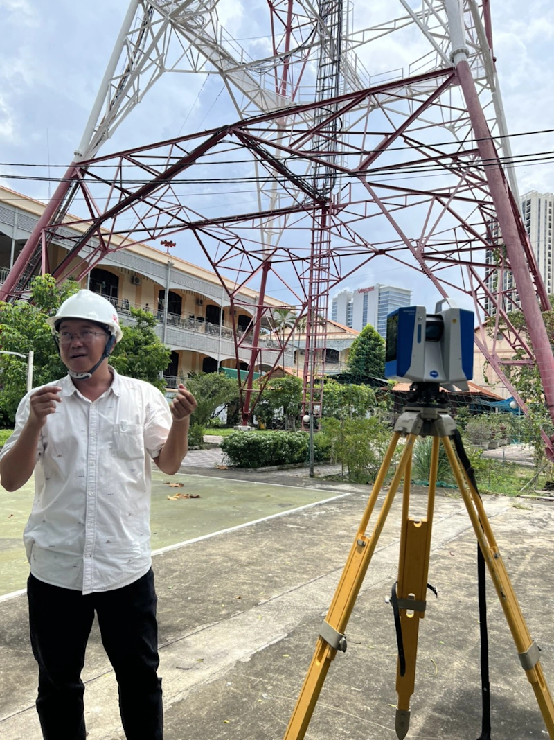
Depending on project scale and site conditions, 3DScan combines terrestrial laser scanning (TLS) and UAV to achieve both millimetre-level detail and centimetre-level coverage over large areas:
- Terrestrial Laser Scanner (TLS)
- Stationed on the ground to capture highly detailed point clouds for static structures: buildings, factories, architectural and MEP systems.
- Typical accuracy of ~2–5 mm, reconstructing surfaces, mouldings and gaps with excellent flatness.
- Ideal for high-detail areas: interiors, column bases, structural connections and regions hidden from aerial view.
- UAV (RTK/GCP imagery or UAV LiDAR depending on requirements)
- RTK/GCP aerial imagery (photogrammetry): creates orthophotos, DSM/DTM and 3D models for wide, elevated or hard-to-reach areas (roofs, yards, outdoor corridors). Typical accuracy at centimetre level (depending on GSD, flight altitude and GCP/RTK quality).
- UAV LiDAR (when required): quickly scans large areas and penetrates light vegetation; typical accuracy at centimetre level (depending on sensor configuration and flight conditions).
- Optimises schedule and safety when covering extensive sites while limiting direct access to high-risk zones.
TLS stations are positioned to capture millimetre-level detail for building blocks, while UAV flights cover the entire site. The TLS and UAV datasets are then registered into a common coordinate system, forming a unified point cloud for use in design, BIM, AutoCAD and GIS.
Learn more: Accuracy of 3D Laser Scanning instruments: specifications, reflectivity effects and device comparison
Step 2: Data Processing
- Noise filtering and coordinate adjustment to ensure fully aligned datasets.
- Merging all scans into a unified point cloud to build an accurate, high-resolution 3D model.
Step 3: Integration with Design Software
- Import the point cloud into BIM, Revit, AutoCAD and GIS environments.
- Engineers can then:
- Check deviations between as-built conditions and design drawings.
- Perform quantity take-off and prepare engineering plans.
- Simulate, redesign, renovate or extend existing structures with confidence.
Thanks to this workflow, 3D Laser Scanning not only increases accuracy but also shortens survey time and reduces errors compared with traditional surveying methods, making it an essential tool in modern construction and infrastructure projects.
Popular Types of 3D Laser Scanners
3D Laser Scanning is not a single device but a family of instruments, each with specific technical characteristics and application scenarios. This diversity allows businesses to choose the most suitable solution for every project and sector. Below is an overview of the most widely used systems.
Static Scanners (TLS – Terrestrial Laser Scanner)
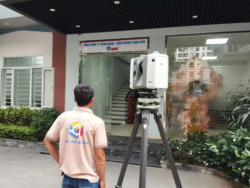
TLS systems are static scanners placed on tripods, specialised in capturing high-detail data of stationary structures. They deliver extremely accurate 3D models and are ideal where tight tolerances are required.
Typical technical specifications:
- Accuracy: 2–5 mm
- Range: 100–300 m
- Scan speed: 500,000–1,000,000 pts/sec
Advantages:
- Outstanding accuracy, capturing every structural detail.
- Stable and repeatable, suitable for long-term monitoring at the same facility.
Limitations:
- Less efficient for very large sites or long linear projects.
- Requires multiple scan positions to fully cover a complex structure.
Typical applications:
- High-rise buildings and civil structures.
- Deformation monitoring and detailed structural modelling.
- Projects requiring millimetre-accurate 3D as-built models.
UAV (RTK/GCP Imagery & UAV LiDAR – Depending on Requirements)
UAV platforms offer rapid coverage of large areas and high structures, providing terrain, roof and overall spatial context to be merged with TLS data.
RTK/GCP aerial imagery (photogrammetry)
- Typical accuracy: ~2–5 cm (depending on GSD, flight altitude, RTK/GCP setup and surface reflectivity).
- Advantages: Fast generation of orthophotos, DSM/DTM and 3D models with highly competitive cost for large areas.
- Limitations: Accuracy depends on flight planning and GCP/RTK quality; low-texture or glossy surfaces may need enhanced processing.
- Applications: Master planning, urban and industrial infrastructure, roof surveys, yards and outdoor corridors.
UAV LiDAR (when required)
- Typical accuracy: ~3–10 cm (depending on LiDAR sensor, RTK/PPK configuration and flight conditions).
- Advantages: Very fast coverage of large areas, ability to penetrate sparse vegetation and obtain more reliable terrain heights.
- Limitations: Lower accuracy than TLS, more sensitive to weather and flight altitude; requires rigorous calibration and registration.
- Applications: Complex terrains, linear infrastructure corridors and wide areas with vegetation cover.
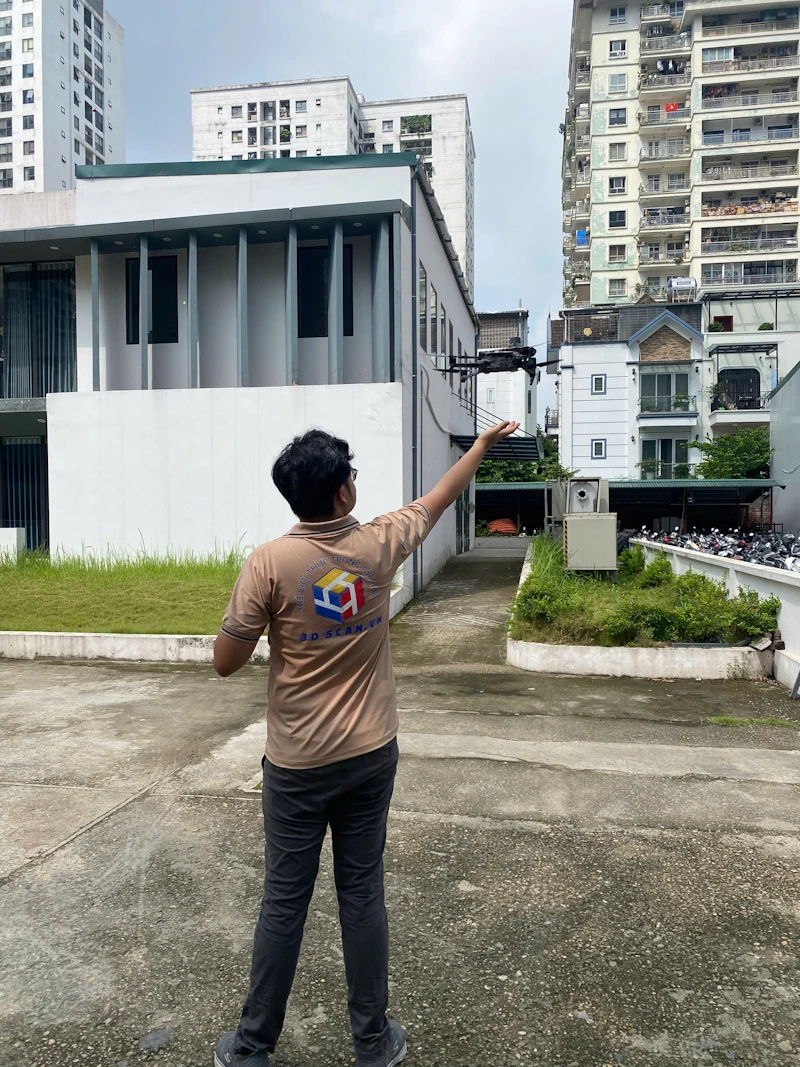
Comparison of 3D Laser Scanning Systems
| Criteria | TLS – Static Scanner | UAV – RTK/GCP Imagery | UAV LiDAR |
|---|---|---|---|
| Typical accuracy | 2–5 mm | 2–5 cm | 3–10 cm |
| Level of detail | Very high (structural and architectural details) | High (depends on GSD/flight altitude) | Medium–high (strong on terrain and under vegetation) |
| Coverage / productivity | Local / building-scale blocks | Large areas, very fast | Large areas, very fast |
| Strengths | Millimetre detail, high stability | Fast orthophoto/DSM/3D generation, cost-effective for wide sites | Excellent for complex terrain and vegetated areas |
| Considerations | Requires multiple scan stations | Needs robust flight planning and RTK/GCP setup | Dependent on weather and LiDAR configuration |
3D Laser Scanning Applications in Construction and Infrastructure
3D Laser Scanning enables organisations to visualise project data, optimise design, reduce risk and save costs across a wide range of applications:
| Sector | Typical projects | Key benefits |
|---|---|---|
| Transport infrastructure | Highways, bridges, tunnels, ports | – Compute elevations, cut-and-fill volumes, cross-sections – Detect deviations and reduce material waste |
| Urban areas & industrial parks | Master planning, technical infrastructure | – Accurate elevation checks and infrastructure simulation – Faster design decisions with fewer construction errors |
| Buildings & civil works | Factories, high-rise buildings | – Existing condition surveys and deformation monitoring – Better decision-making for refurbishment and expansion |
| Energy & water resources | Reservoirs, dams, wind farms, solar farms | – Detailed terrain modelling – Reduced risk and optimised design costs |
Learn more: Accuracy assessment of SLAM mapping in tunnels: comparison with static TLS scanners
Vietnamese Companies Quickly Adopting 3D Laser Scanning
Riding the wave of digital transformation in construction, many Vietnamese companies are proactively investing in 3D Laser Scanning survey technology. Instead of viewing it as a mere technical tool, they consider it a strategic foundation to enhance competitiveness and standardise project management processes.
Today, numerous design consultants, main contractors and major infrastructure investors in Vietnam already own modern 3D laser scanners integrated with advanced sensor-equipped drones. These solutions enable them to capture, analyse and visualise existing conditions with unprecedented accuracy.
Leading organisations are also integrating 3D Laser Scanning with BIM (Building Information Modeling), creating a fully connected lifecycle from survey and design to construction and operation. This synchronised process shortens project timelines, optimises costs and measurably improves productivity and build quality.
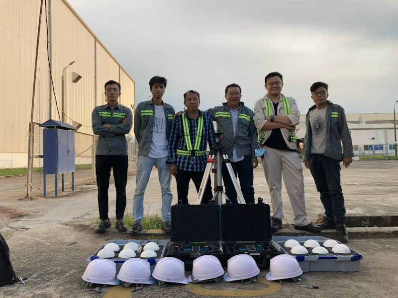
Contact 3DScan – Tailored 3D Laser Scanning Solutions for Your Project
Looking for a high-accuracy, time- and cost-efficient survey solution for your construction, infrastructure or refurbishment project? 3DScan’s 3D Laser Scanning services deliver an end-to-end workflow from field survey and data processing to complete, ready-to-use 3D models.
With an experienced team of engineers, state-of-the-art 3D laser scanners and specialised software, 3DScan helps you:
- Capture data with millimetre-level accuracy, minimising errors compared with traditional surveying methods.
- Reduce survey time from several days to just a few hours, cutting labour and equipment costs.
- Create intuitive 3D models that support analysis, planning, refurbishment and expansion projects.
- Improve project management through consistent, shared datasets integrated with BIM, Revit and AutoCAD.
Get in touch with 3DScan.vn today for tailored advice and first-hand experience of our advanced 3D Laser Scanning technology – helping your projects move faster, more precisely and with maximum cost efficiency.
Conclusion
3D Laser Scanning surveys are more than just a new technology – they are a strategic step forward for construction companies seeking to increase competitiveness, optimise resources and meet international technical standards. In the near future, 3D Laser Scanning will be an indispensable component of digital transformation across the construction industry in Vietnam.