Why as-built laser scanning improves project management
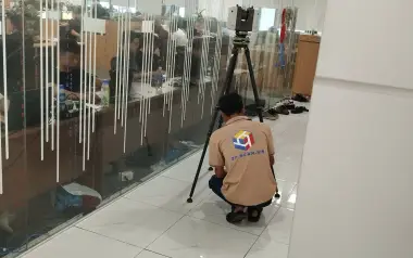
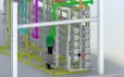
To manage projects accurately, quickly, and transparently, existing-condition data must be quantifiable and shared seamlessly across disciplines. As-built laser scanning fully meets that requirement: fast scanning, millimetre-level 3D detail, and direct integration into BIM/AutoCAD/GIS workflows, thereby reducing time on site, minimizing variations, and enabling near real-time quality control.
- Quantifiable millimetre accuracy: TLS captures a very dense point cloud, with typical error of ~2–5 mm, enabling comparison between as-built and design, and early clash detection (pipes, beams, clearances).
- 50–70% reduction in field time: Rapidly scans the entire space, minimizes re-measurement, and reduces repeat site visits.
- Transparent data – better multidisciplinary coordination: 3D models are interoperable with BIM/Revit/AutoCAD/GIS, allowing “virtual” as-built measurements directly on the point cloud and reducing disputes at handover.
- Fewer variations & construction risks: Longitudinal/cross sections, flatness/slope checks, and volume calculations are all based on digitized existing conditions instead of rough estimates.
- Traceability & change control: Time-stamped scans (by phase) enable before/after comparison to verify deformation and monitor subcontractor performance.
- Safety & access to hard-to-reach areas: Remote scanning of high, tight, or hazardous locations reduces time working at height and HSE risks.
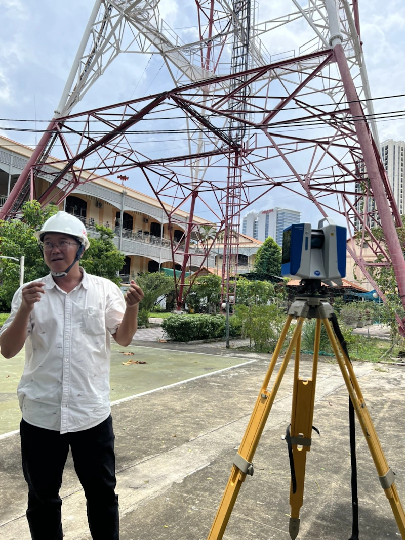
Optimized as-built laser scanning workflow
For as-built laser scanning to produce data that can be used directly for design and construction, the workflow must be robust from the outset: technical targets (RMSE/density/coverage), control network, safe and complete data acquisition, through to post-processing, data merging, and quantitative QA/QC. The checklist below helps project teams work consistently, minimize return site visits, and deliver to the correct technical standard.
Pre-survey — technical specifications & planning
- Technical targets: agree on RMSE_xy, RMSE_z, point density, coverage, and deliverables (LAS/LAZ, E57, GeoTIFF, DSM/DTM, DXF/SHP).
- Reference system: VN-2000/UTM (EPSG) and vertical datum (Hon Dau or project-specific benchmark).
- Survey control: lay out sufficient GCP/CP (control points/check points) with proper distribution along edges and in the center.
- Field plan: TLS station layout (approx. 100–300 m, covering blind spots), movement routes, restricted/difficult areas; for wide/ outdoor zones, plan UAV missions (GSD, overlap, oblique).
- Safety & legal aspects: risk assessment (HSE), UAV flight permits (if applicable), and equipment checklist.
On-site — safe acquisition & complete coverage
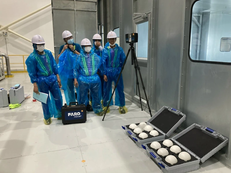
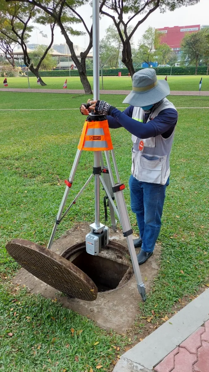
- TLS operation: scan according to the planned station path; use targets/spheres or cloud-to-cloud registration; quickly check shadows/gaps in the data and add stations immediately if needed.
- UAV (if used): fly according to plan, log RTK/PPK, survey GCP/CP with GNSS, and verify coverage directly in the field.
- Field logbook: record weather, equipment/firmware, benchmarks used, incidents and corrective actions (supporting traceability and QA).
Post-processing — processing, merging & standardization
- TLS: register stations (target/hybrid/cloud-to-cloud), filter outliers, clean shadows, and check internal errors.
- UAV imagery/LiDAR (if any): align → dense cloud/strip adjustment → generate orthophoto/DSM/DTM; constrain with GCP.
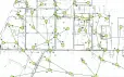
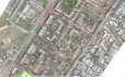
- Merging TLS ↔ UAV: bring all data into the same EPSG, balance residuals, prioritize layers (TLS for details, UAV for wide areas), generate breaklines, cross sections, and extract volumes.
QA/QC — quantitative validation
- Independent CP checks: compute RMSE_xy and RMSE_z; report residuals by station/strip.
- Quality map: density/error heatmap, percentage of area that meets required coverage and density.
- Reference thresholds: internal TLS error ≤ ~5 mm; UAV imagery RMSE_xy ≤ 2–3×GSD, RMSE_z ≤ 3–4×GSD; UAV LiDAR RMSE_z ~3–10 cm (depending on configuration/terrain).
Deliverables — ready-to-use data
- Point cloud: LAS/LAZ (with classification), E57 (TLS).
- Raster: GeoTIFF (orthophoto, DSM/DTM) with EPSG information.
- Vector: DXF/SHP (contours, breaklines, boundaries).
- Other: mesh/OBJ/FBX (if required), QA/QC report, and metadata (EPSG, benchmarks, workflow, processing parameters, data version).
Common risks & how to control them
In as-built laser scanning projects, risks do not only come from equipment but from the entire chain: GNSS signal quality, surface conditions, vegetation occlusions, multi-source registration, and large data management. Early identification and proper control determine whether the data can be used immediately for design/construction, reducing re-surveys and extra costs.
- GNSS degradation (urban canyons/obstructions): increase GCP/CP, fly multi-direction/multi-altitude (if using UAV), select time windows with low PDOP, prioritize stable PPK/RTK, and supplement TLS in shadowed areas.
- Difficult surfaces (glass, water, shiny roofs): increase overlap, add oblique imagery, use TLS for fine details, and apply masks/weights during image reconstruction.
- Dense vegetation/complex terrain: use UAV LiDAR to capture ground points, fly along slopes, refine ground classification, and verify with CP in open areas.
- TLS ↔ UAV registration errors: use targets/spheres, follow registration SOPs, run strip adjustment before merging, and check residuals by station/strip and through control cross sections.
- Insufficient coverage/uneven density: monitor coverage in the field and add UAV passes or TLS stations immediately when “holes” are detected.
- Big data management: standardize folder/file naming, tile the area for processing, compress to LAZ, and maintain processing logs for reproducibility.
- UAV safety & regulations: obtain flight permissions where required, conduct risk assessments, check batteries/firmware, prepare emergency plans, and avoid flying in strong winds or adverse weather.
Real-world applications in infrastructure and construction projects
As-built laser scanning is now widely used across many domains:
- Transport projects: surveying road corridors, bridges, tunnels, ports, and highways to design cross sections and calculate cut/fill volumes.
- Urban areas and industrial zones: supporting master planning, checking elevations, and simulating technical infrastructure.
- Energy and hydraulic structures: analyzing water flow, designing dams, reservoirs, substations, and hydropower plants.
- Buildings and retrofit projects: assessing existing building conditions and extracting precise dimensions for renovation, expansion, or restoration works.
Thanks to these flexible applications, 3D laser scanning is becoming a key tool to shorten project timelines, improve quality, and reduce risk in large-scale construction projects.
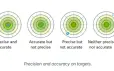
See also: Errors in Laser Scanning: Noise, Accuracy vs Precision
Vietnamese businesses quickly embracing the trend
In line with the global wave of digital transformation, many Vietnamese companies in construction, design consultancy, and infrastructure have invested in 3D laser scanners and high-end survey drones.
Some pioneers are integrating laser scanning with BIM (Building Information Modeling), creating an end-to-end workflow from survey and design to construction and facility management. This integrated solution boosts productivity, reduces costs, and optimizes quality control processes throughout the asset lifecycle.
Contact 3DScan – Optimized 3D laser scanning solutions for your project
Are you looking for a 3D terrain and asset survey solution that saves time and costs for construction, infrastructure, or retrofit projects? 3DScan’s 3D laser scanning service provides a complete package from field survey and data processing to fully visual 3D model delivery.
With an experienced engineering team, modern 3D laser scanners, and specialized software, 3DScan helps you:
- Capture highly accurate, millimetre-level data, reducing errors compared with traditional methods.
- Shorten survey time from several days to just a few hours, saving labor and equipment costs.
- Create intuitive 3D models to easily analyze, plan, and design retrofit or expansion options.
- Improve project management efficiency thanks to synchronized data across teams and integration with BIM, Revit, and AutoCAD.
Contact 3DScan.vn today for detailed consultation and to experience advanced 3D laser scanning technology that helps your projects run faster, more accurately, and at optimized cost.
Hotline: 0938 309 808
Email: lienhe@3dscan.vn
Website: https://3dscan.vn/
Conclusion
As-built laser scanning not only helps organizations improve accuracy and project management efficiency, but also drives the digital transformation of Vietnam’s construction sector. With outstanding advantages in speed, detail, and integration, 3D laser scanning is rapidly becoming the new standard for modern surveying and construction monitoring.
Get in touch with 3DScan today for expert advice and to experience cutting-edge survey solutions that help your organization optimize costs and stay ahead of digital technology trends in infrastructure management.