3D Laser Scanning for the Preservation of Xa Loi Pagoda – Digitizing Every Detail of Cultural Heritage
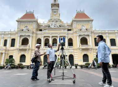
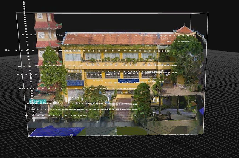
3DScan.vn implemented a project on 3D laser scanning for the preservation of Xa Loi Pagoda – one of the most historically, architecturally, and artistically significant religious structures in Ho Chi Minh City. The project utilized advanced technologies including Leica RTC360, UAV DJI Mavic 3E, and professional DSLR cameras to capture highly detailed and realistic data down to every ornament, sculpture, and fine element with an accuracy of ±5 mm.
Contact us for 3D scanning services for heritage preservation
 1. Objectives and Scope
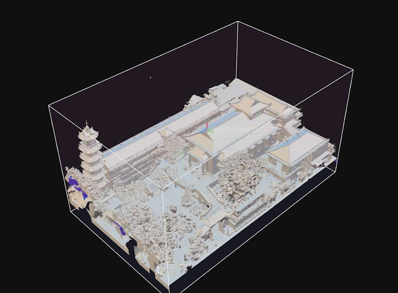
The project aims to digitize the entire architectural and artistic space of Xa Loi Pagoda to support research, conservation, and future restoration. The scanning data captures all structures, materials, statues, reliefs, decorative elements, and roof structures with high fidelity, accurately reflecting the current condition of the monument.
- Location: Xa Loi Pagoda, District 3, Ho Chi Minh City.
- Purpose: Digitization for archival, research, exhibition, and digital preservation.
- Equipment: Leica RTC360 (terrestrial laser scanning), UAV Mavic 3E (roof and overview capture), DSLR camera (detailed interior capture).
- Overall Accuracy: ±5 mm after registration.
- Deliverables: Point Cloud, 3D Model, Textured Mesh, Orthophoto, and Heritage BIM model.
 2. Technical Workflow
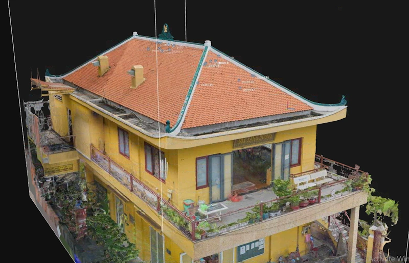
To ensure maximum accuracy and realism, 3DScan.vn engineers integrated three technologies: 3D Laser Scanning – UAV Photogrammetry – High-resolution Photography, creating a comprehensive dataset covering façades, roofs, interiors, and artistic details.
a) Terrestrial Laser Scanning with Leica RTC360
- Conducted over 600 scan stations covering the entire pagoda, main hall, towers, statues, and corridors.
- Applied Cloud-to-Cloud registration with RMS error < 5 mm.
- Reconstructed precise 3D spatial geometry down to fine architectural details.
b) UAV Survey with Mavic 3E
- Flight altitude: 30–80 m to capture roofs, towers, courtyards, and overall layout.
- Images aligned with TLS data to generate accurate exterior models and orthophotos.
- Ensures realistic representation of materials, colors, and surface textures.
c) High-detail Photography using DSLR
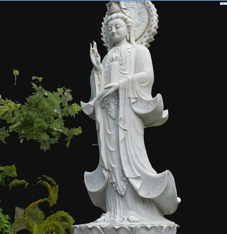
- Captured statues, reliefs, ornaments, and intricate interior carvings.
- Images processed with color calibration and applied as textures to the 3D model.
- Supports virtual exhibitions and long-term digital heritage archiving.
 3. Results and Applications
Upon completion, 3DScan.vn delivered a comprehensive digital dataset including Point Cloud, textured 3D models, and high-resolution orthophotos. The model achieves ±5 mm accuracy, faithfully representing every detail, ornament, material, and color.
- Full 3D site model: complete representation of spatial layout, structures, and objects.
- Heritage BIM model: supports deformation analysis, material study, and digital reconstruction.
- Long-term digital archive: for conservation, education, exhibitions, and VR/AR tourism.
- Accurate technical documentation: enables scientifically grounded restoration decisions.
 Conclusion
The 3D Laser Scanning project at Xa Loi Pagoda demonstrates the effective application of digital technologies in preserving Vietnam’s cultural heritage. The integration of Leica RTC360, UAV Mavic 3E, and professional photography enables synchronized data acquisition with ±5 mm accuracy, while preserving the full aesthetic, historical, and spiritual value of the site. 3DScan.vn continues to support conservation efforts by bringing the “real world within reach.”
Need 3D laser scanning for heritage sites, monuments, or religious structures? 3DScan.vn provides Laser Scanning – UAV – High-resolution imaging services with high accuracy, realistic detail, and support for digital exhibition.
Contact 3DScan.vn Hotline: 0938309808 · Email: lienhe@3dscan.vn