Laser Scan 3D in Vietnam for Existing Condition Surveys & As-Built Drawings: Faster, with More Complete Data
Laser Scan 3D is becoming the leading choice in Vietnam for existing condition surveys and the preparation of as-built drawings. With the ability to capture millions of points per second to form a high-density point cloud, this solution significantly shortens field time, ensures complete data for CAD/BIM modeling, and reduces the risk of having to revisit the site.
1) Key Benefits of Laser Scan 3D for Existing Condition Surveys
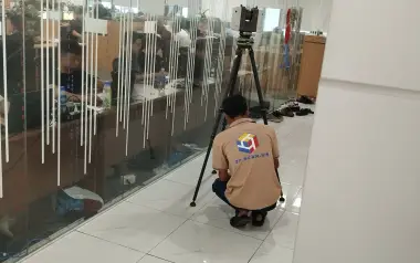
- Speed: Each scan station captures the surrounding space in 1–3 minutes; an entire floor of several hundred m² can be completed in a few hours instead of several days of manual measurements.
- Complete data: All visible surfaces are recorded. When new requirements arise, engineers can re-measure directly on the point cloud without returning to site.
- Consistency & traceability: Data is unified in a single coordinate system; easy to compare, verify, and audit technically.
- Safety & minimal disruption: Limits the need to access hazardous areas and reduces occupation time on residential properties, buildings, and factories in Vietnam.
- Digital evidence: Point clouds and color images serve as clear “digital evidence” for all dimensions and layouts on the as-built drawings.
2) Standard Workflow: From Laser Scan 3D to As-Built Drawings
2.1 Site reconnaissance & planning
Define the scope of the existing condition survey, required accuracy/LOD, and hard-to-access areas; plan scan routes, scanner positions, and control point measurements to ensure sufficient coverage and overlap for registration.
2.2 Field data acquisition
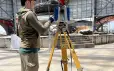
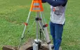
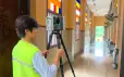
Use TLS (static terrestrial laser scanners) for high accuracy and SLAM-based mobile scanners for corridors and long, narrow spaces. Each TLS station captures geometry and color imagery; SLAM scanning continuously covers complex spaces quickly.
2.3 Point cloud registration & processing
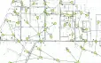
Combine all scan stations into a single unified point cloud; remove noise, crop irrelevant areas, align axes, and tie the dataset to the appropriate coordinate system when integrating with maps/designs in Vietnam (VN-2000/UTM where required).
2.4 Scan-to-CAD/BIM & as-built drawing production
From the point cloud, model walls, floors, beams, columns, ceilings, doors, and MEP systems according to the required LOD; generate a complete set of plans, elevations, sections, and details with consistent dimensioning for acceptance and refurbishment.
Need to deploy Laser Scan 3D for existing condition surveys in Vietnam?
Call 0938 309 808 · Email lienhe@3dscan.vn · Contact 3DSCAN
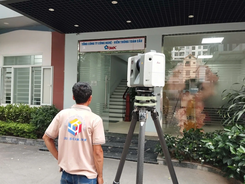
3) Two Decisive Advantages: Speed & Data Completeness
- Speed: Reduces field time by 50–80% thanks to simultaneous capture of all visible surfaces; cuts down on site visits and labor costs.
- Complete data: No details are missed. When new items arise, engineers can retrieve dimensions directly from the point cloud, avoiding additional site visits – particularly valuable for operating plants or restricted-access facilities in Vietnam.
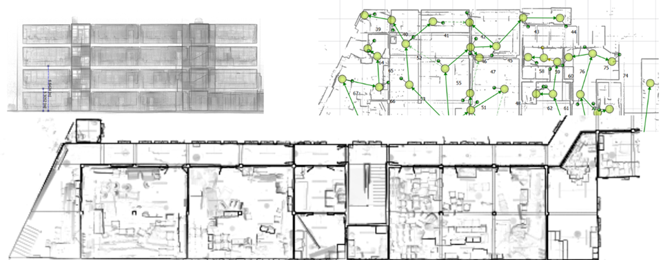
4) Comparison Table: Laser Scan 3D vs Traditional Tape Measurements
| Criteria | Laser Scan 3D | Tape measurements (manual) |
|---|---|---|
| Data acquisition speed | Very fast – 1–3 minutes per station; rapid coverage of large floor areas. | Slow – measure each dimension individually; large areas may take several days. |
| Data completeness | Very complete – full capture of all visible surfaces; measurements can be taken at any time from the point cloud. | Limited – only recorded dimensions are available; lacks overall context for verification. |
| Coordinate consistency | Multiple stations registered into a single coordinate system; easy to tie into VN-2000/UTM control in Vietnam. | Depends on surveyor skill; cumulative errors and axis misalignment are common. |
| Risk of revisiting the site | Low – dimensions can be taken directly from the point cloud. | High – high chance of missing measurements, requiring return visits. |
| Safety & disruption | Less exposure to hazardous areas; shorter occupation time. | Often requires climbing or entering confined spaces; greater impact on operations. |
| Lifecycle cost | Higher equipment cost, but overall project cost is typically lower due to time savings and reduced errors. | Lower immediate field cost but higher risk of rework and schedule delays. |
| Evidence for acceptance | High – point cloud and color imagery provide robust digital evidence. | Low – relies on notes and scattered photos. |
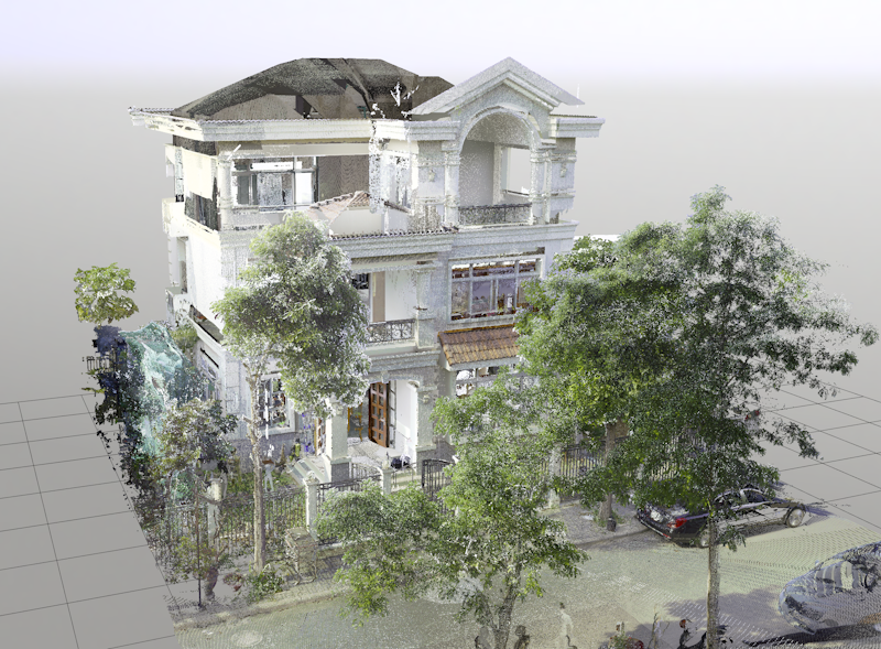
5) Common Application Scenarios in Vietnam
- Residential houses and multi-storey buildings: Prepare as-built documentation, check deviations from design, and support quantity take-off for renovation.
- Factories and industrial workshops: Rapid scanning within short shutdown windows; model MEP systems to plan production line upgrades.
- Hotels and commercial centers: Space inventory, verification of completed works, and production of coordinated plan–elevation–section drawings.
- Infrastructure assets: Bridges, tunnels, car parks; capture accurate geometry for inspection, strengthening, and rehabilitation design.
6) 3DSCAN Deliverables
- Point cloud (E57/PTS/LAZ) fully registered and aligned to the defined coordinate system.
- Color imagery linked to scan stations and/or panoramas.
- CAD/BIM models (DWG/RVT/IFC) to the agreed LOD.
- As-built drawing set (plans/sections/elevations/details) with coordinated dimension tables.
- Technical report (workflow, scan parameters, registration errors, and applicable Vietnamese coordinate reference system).
Schedule an existing condition survey with Laser Scan 3D in Vietnam
Phone 0938 309 808 · Email lienhe@3dscan.vn · 3DSCAN contact form
FAQ – Frequently Asked Questions
Is Laser Scan 3D accurate enough for as-built drawings?
With appropriate equipment configuration and a proper registration workflow, Laser Scan 3D data fully meets as-built requirements for civil and industrial projects in Vietnam. 3DSCAN always reports registration errors so clients can verify and approve.
Can the point cloud be used directly in AutoCAD/Revit?
Yes. Point clouds can be imported into AutoCAD/ReCap/Revit/IFC-based platforms for geometric reconstruction. Depending on the required LOD, 3DSCAN delivers ready-to-use CAD/BIM models, significantly shortening the process from existing condition survey to final drawings.
When is it necessary to combine with traditional tape measurements?
For fully hidden areas, confined machine rooms/cabinets, or details requiring calipers or specialized instruments. 3DSCAN supplements scanning with targeted manual measurements to ensure the model and drawings are both complete and accurate.
What are the typical survey and delivery timelines?
Timelines depend on project size and requested LOD. Fieldwork for large floor areas is often completed within 1–2 days; point cloud processing and drawing/model production range from a few days to several weeks. 3DSCAN provides a detailed schedule before project commencement.
```